GIS METEO SOFTWARE
GIS Meteo software is a comprehensive and interactive, real-time tool primarily designed for processing, visualization and documentation of meteorological information.
APPLICATION AREA
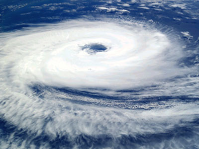
GIS Meteo software applications are used for professional activities in the field of meteorology, hydrology, oceanography, meteorology and ecology.
Concept
GIS METEO software consists of a geographic information system and its components, of a meteorological database and individual applications, as well as of numerous technological means to collect and disseminate meteorological data.
LICENSES
GIS METEO
software was registered by the Federal Service for Intellectual Property,
Patents and Trademarks in Registry of computer programs.
GIS METEO software was licensed in hydrometeorology and related fields by Roshydromet.
GIS METEO software was certified by Interstate Aviation Committee and recommended by Roshydromet for use in all of its territorial units and divisions, including the Hydrometeorological Centre of Russia.
FEATURES
Some featuresCREATING of weather maps and charts
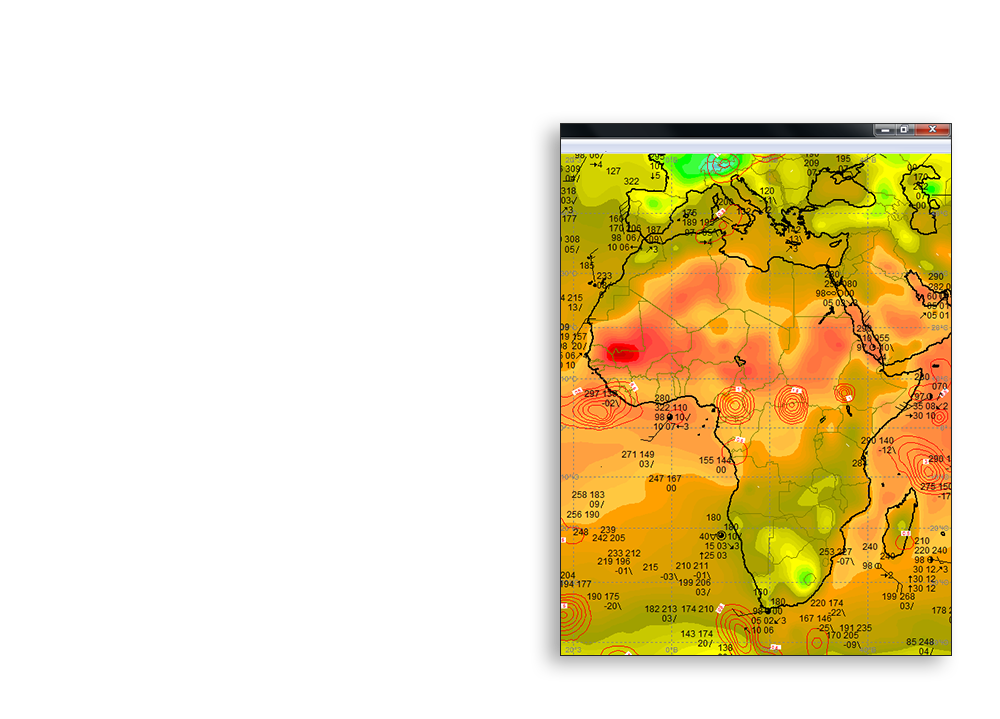
GIS Meteo software creates weather maps and charts in any geographical projection and size. GIS Meteo software allows one to display up to 250 layers of meteorological information on a geographic substrate.
The possibility of combining any kinds of meteorological data and the results of numeric methods on the same map gives birth for absolutely new technology for a meteorologist-analyst.
FORECASTING DATA
According to the different hydrodynamic models, calculated by meteorological centers in Russia, UK, USA, Germany, one can create weather maps of a different forecast time step (up to 168 hours).
AUTOMATION
GIS Meteo software creates an automatic scenario of data selection and mapping according to the schedule, which significantly increases the efficiency of a meteorologist’s operational work.
Interactive work
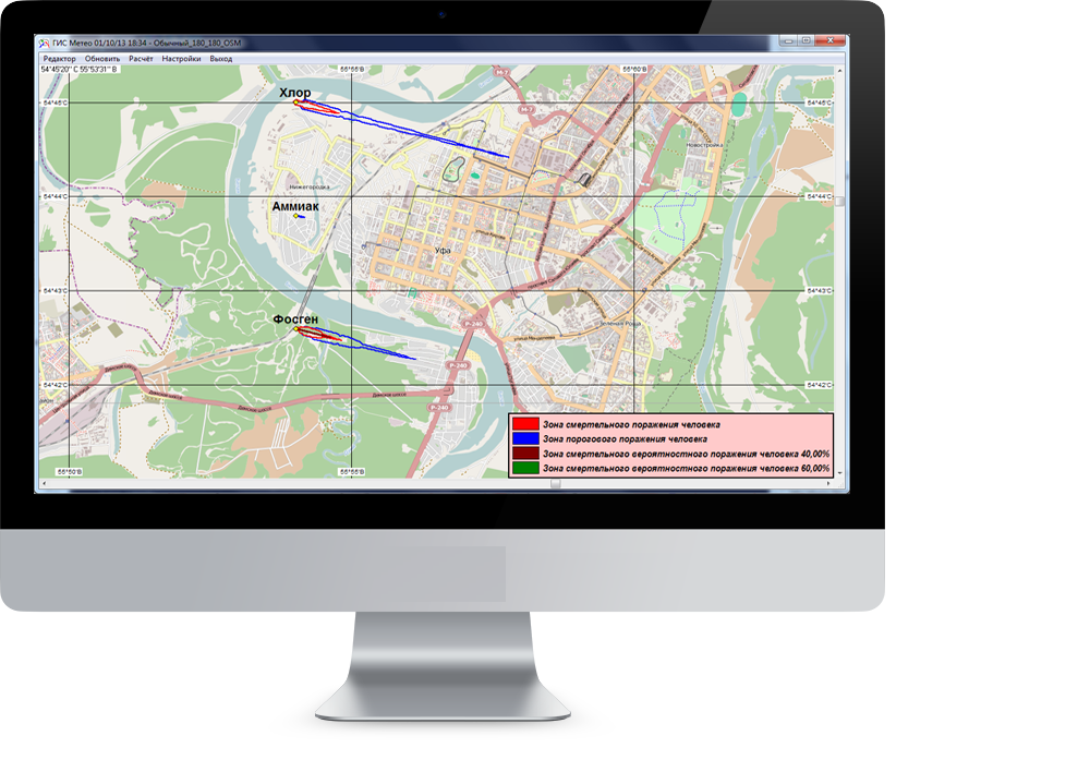
GIS METEO software allows meteorologists to select meteorological parameters from the database and to put them on the map, adjust the questionable data, build a trajectory model according to the actual and predictive data, save the form on the chart, create animations forecasts.
DATA PROCESSING
GIS METEO software receives and processes data from all over the world, disseminated by the World Meteorological Organization (WMO) and Global Telecommunication System (GTS). GIS METEO software creates meteorological maps using meteorological real-time database, the data of satellite images and radar sensing of the atmosphere. It supports encoding BUFR, GRIB and analog-to-digital code. GIS Meteo software has a simple and friendly user interface for working with maps, graphs, diagrams and etc.
COMPATIBILITY
GIS METEO software is compatible with SADIS, RETIM, MITRA, SCANEX.
Operational work
A meteorologist’s routine work is based on an automated workstation of a forecaster-analyst, an aviation forecaster, an agricultural meteorologist, a radio meteorologist, a hydrologist-forecaster. An automated workstation - is an individual set of hardware and software designed to automate meteorological forecasting.
SCIENTIFIC ACTIVITY
GIS Meteo software applications use a greater number of numerical methods developed in the organizations of Roshydromet and abroad. Therefore, the GIS Meteo software is used for scientific research activities.
Interactive training
GIS Meteo software has a simple and friendly user interface for working with maps, graphs, diagrams and etc. so that it can be used as an interactive training aids for students at Higher educational institutes specialized in meteorology.
GIS METEO SOFTWARE APPLICATIONS
GIS Meteo software gave birth to a number of specialized applications used in scientific activity, in the industries and in individual businesses.
GIS METEO Forecaster-analyst software
Short-term and medium-term forecasts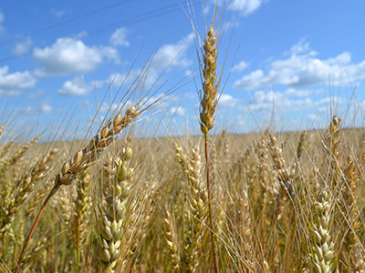
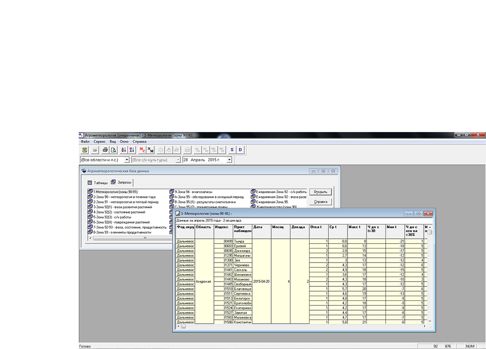
GIS Meteo Agro software
Agro-meteorological maps and charts, tables and registers
GIS Meteo Avia software
Air-route and aeronautical weather forecasts, flight documentation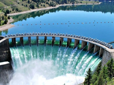
GIS Meteo HYDRO software
Hydrological forecasts as well as hydrological monitoring on rivers and reservoirs.