
AN AUTOMATED WORKSTATION OF AN ECOLOGIST
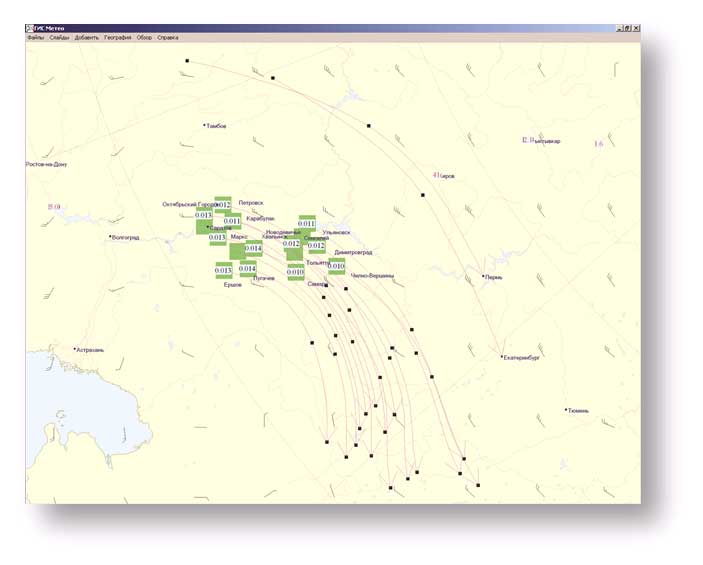
It solves the following objectives:- Monitoring of air and nuclear pollutions
- Forecasting of environmental risks in localities in depends on meteorological conditions
- Forecasting of meteorological conditions causing air pollutions.
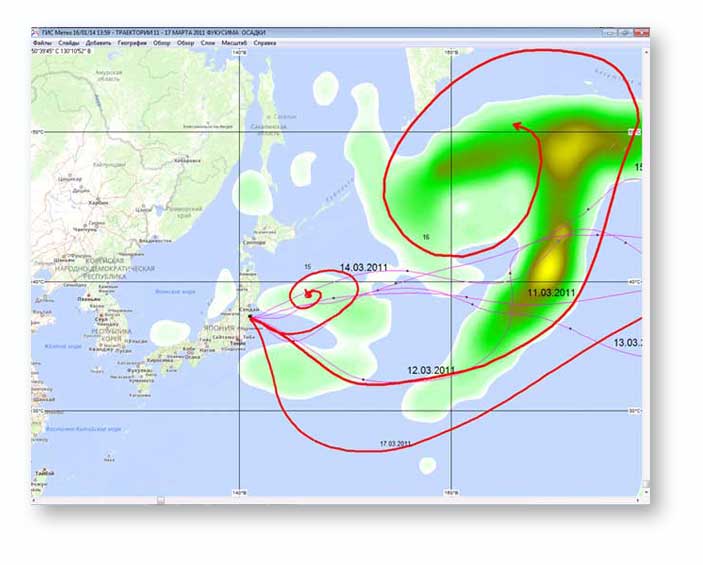
Trajectory calculations
Trajectory calculations are used to predict and evaluate the transfer of pollutants in the air as well as creating a stratification profile in localities.
INTERACTION WITH
an automated workstation of a meteorologist
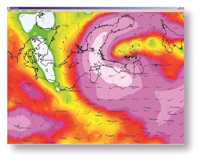
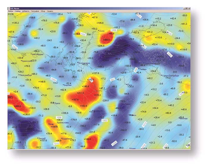
As an ecologist needs maps of surface analysis, maps of air temperature and precipitation, extremes of temperature, the temperature at the soil surface of a different time length, please install a meteorologist’ s software.