
Meteorologist’s automated workstation
Solves the following tasks:- Receiving and decoding data
- Preparation of flight documentation
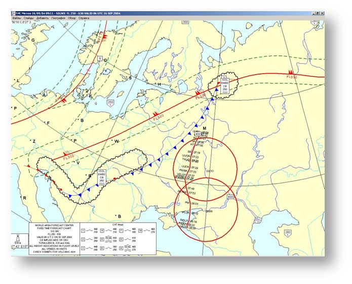
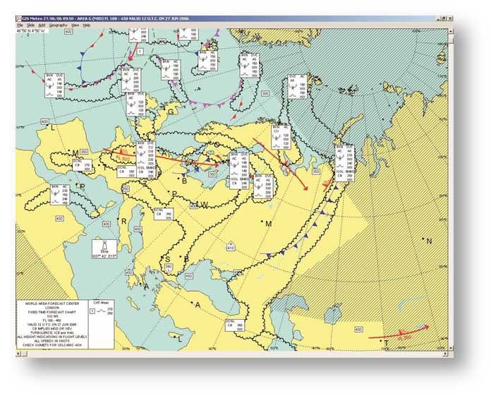
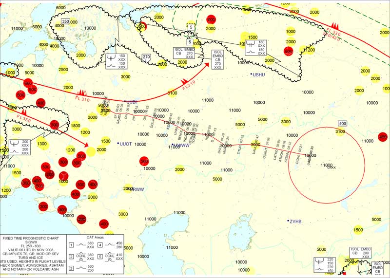
- Create of SIGWX phenomena maps according to BUFR-code
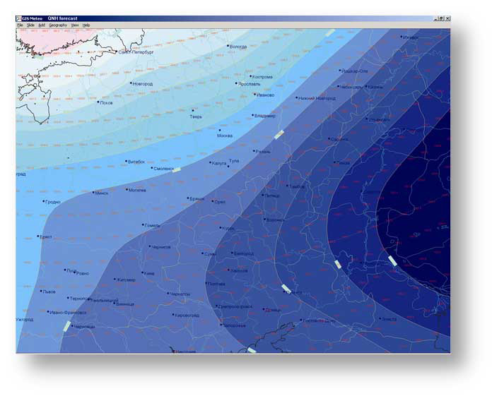
- Mapping according to GRIB-code
- Visualization of telegrams according to METAR, TAF, SPECI, SIGMET-codes
- Data Visualization AIREP, AMDAR
FORECASTS
GIS Meteo Avia software allows you to receive:
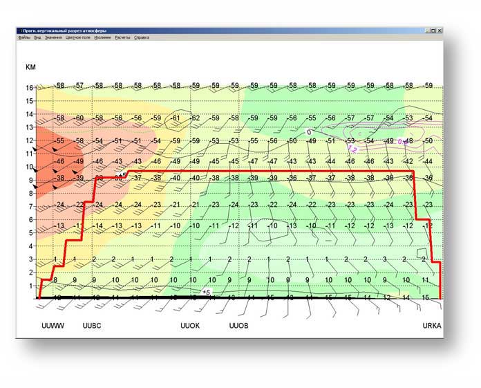
- Current and forecast data on wind and temperature
- Actual and expected special events along the air-route
- Aerodrome forecasts
- METAR, TAF, SPECI- reports and briefs for aerodromes
- SIGMET, AMDAR, AIREP - reports and briefs along the air-route.
FEATURES
Meteorological charts and maps
Mapping of special phenomena according to BUFR-code for any area of the globe.
ZOOM
Changing the scale of the map without loss of quality
EDITING
Map editing is executed in accordance to local weather conditions
DATA LAYERS
Overlay map of any meteorological or aeronautical information.
RECOMMENDATIONS
GIS Meteo software was recommended by Met Office, UK, to work in WAFC / SADIS technology.